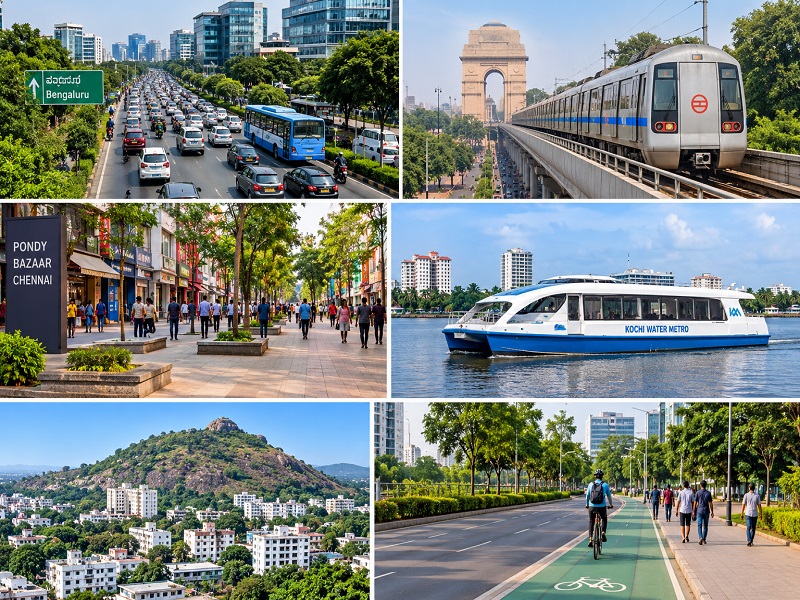
News Integrated Urban Master Planning and Infrastructure Development in Jharkhand
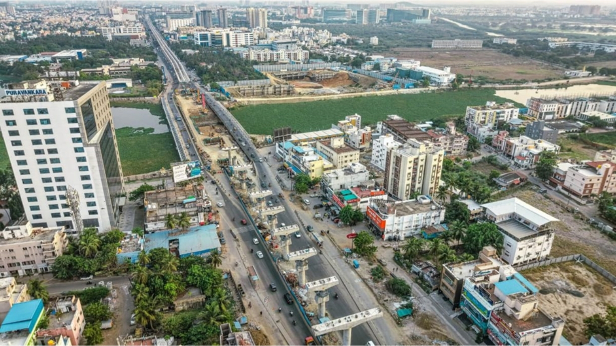
How population growth, housing demand and coordinated infrastructure planning can shape sustainable urban development in Ranchi and across Jharkhand.
Introduction: Planning Cities Beyond Buildings
Urban development is not simply about constructing buildings, roads and commercial spaces. It is about creating connected communities where housing, transportation, water supply, sanitation, employment and public infrastructure function together.
Across Jharkhand, cities such as Ranchi, Jamshedpur, Dhanbad, Bokaro and Hazaribagh are experiencing changing development requirements driven by industrialisation, migration, administrative expansion and increasing housing demand. However, uncoordinated construction, infrastructure deficiencies and pressure on natural resources continue to create challenges for sustainable urban growth.
The solution lies in integrated urban master planning, where population projections, housing requirements, land use, transportation, utilities and environmental considerations are addressed through a coordinated development strategy.
A successful city is not measured by how much it builds, but by how effectively it accommodates people, manages resources and delivers essential services.
Understanding Urban Growth Through Population and Housing Data
Population data provides the foundation for estimating future housing demand, infrastructure requirements and land-use patterns. According to Census 2011, approximately 24.05% of Jharkhand's population lived in urban areas, compared with India's urbanisation rate of 31.1%. The state's urbanisation grew by approximately 32.4% between 2001 and 2011.
The following district-level figures, reported in the Jharkhand Economic Survey 2019–20 using Census 2011 data, illustrate the different urbanisation patterns across the state.
|
District |
Total population |
Urban population |
Urban share |
|
Ranchi |
29.12 lakh |
12.57 lakh |
43.18% |
|
Dhanbad |
26.83 lakh |
15.59 lakh |
58.13% |
|
East Singhbhum |
22.91 lakh |
12.73 lakh |
55.55% |
|
Bokaro |
20.62 lakh |
9.84 lakh |
47.70% |
|
Hazaribagh |
17.34 lakh |
2.75 lakh |
15.88% |
Source: Jharkhand Economic Survey 2019–20, district-wise urban population table based on Census of India 2011. Figures represent entire districts, not individual municipal boundaries.
These differences highlight the importance of location-specific urban development strategies. Ranchi requires planning for administrative and residential expansion, while Dhanbad and Jamshedpur require greater integration of industrial development, housing and environmental management.
Population projections should consider migration, household formation, employment opportunities, residential density and infrastructure capacity over a 10–20-year planning horizon.
Housing stock assessment is equally important. Planners need to examine the total number of residential units, occupied and vacant houses, pucca and kutcha housing, household sizes, affordability, rental accommodation, overcrowding and informal settlements. This helps distinguish between the need for new housing and the improvement or redevelopment of existing housing.
A PRS analysis estimated Jharkhand's urban housing shortage at approximately 6.30 lakh units, using historical Census-based assessments. Separately, the Jharkhand Economic Survey 2025–26 reported 2,43,353 houses sanctioned and 1,64,854 completed under PMAY-U as of January 2026.
These figures have different reference periods and purposes. They should not be interpreted as a direct calculation of the current housing shortage. A fresh, ward-level housing assessment is necessary to understand present-day requirements.
Regional Case Studies: Five Urban Development Priorities
Ranchi – Managing Capital-City Expansion
Ranchi's position as Jharkhand's capital has strengthened its administrative, educational, healthcare and commercial importance. Growing residential demand requires coordinated planning of affordable housing, peripheral settlements, transportation, water supply and drainage.
Ranchi Smart City provides an institutional example of planned urban development through its Area-Based Development and Pan-City initiatives. Its development framework includes planned infrastructure, mobility, housing, water supply, sewerage and digital governance.
A useful next step would be a GIS-based ward-level housing inventory for Ranchi. It could map residential density, occupied and vacant properties, housing conditions, underserved settlements, road connectivity, water supply and drainage gaps. This would help identify neighbourhoods requiring new housing, infrastructure upgrades or improvement of existing residential areas.
Jamshedpur – Integrating Industry and Residential Development
Jamshedpur represents an industrial urban model shaped by steel production, manufacturing and employment. Its planning priorities include worker housing, industrial transportation, utility networks, wastewater management and protection of river systems.
Coordinating industrial corridors with residential neighbourhoods, healthcare, education and public transport can support more balanced urban growth.
Dhanbad – Safe Housing and Mining Rehabilitation
Dhanbad and the Jharia Coalfield demonstrate the relationship between geological conditions, environmental safety and housing development.
The Revised Jharia Master Plan, approved by the Cabinet Committee on Economic Affairs on 25 June 2025, has a financial outlay of ₹5,940.47 crore and provides for the rehabilitation of 15,080 affected families. Its objectives include addressing underground coal fires, land subsidence and resettlement.
The plan also emphasises housing, roads, electricity, water supply, sanitation, social infrastructure and sustainable livelihood opportunities. It demonstrates why land suitability, geological assessments and community rehabilitation must form part of responsible urban planning.
Bokaro – Strengthening Planned Industrial Settlements
Bokaro's development is closely associated with steel production and planned residential sectors. Future planning should address worker housing, employment connectivity, water supply, drainage, public facilities and infrastructure requirements in surrounding settlements.
Hazaribagh – Guiding Emerging Urban Growth
With a comparatively lower district-level urbanisation rate of 15.88% in Census 2011, Hazaribagh offers opportunities for planned urban expansion. Neighbourhood-level planning, affordable housing, road connectivity, drainage, water infrastructure and environmental protection can help prevent fragmented development.
Together, these regional examples demonstrate that Jharkhand requires differentiated planning strategies rather than a uniform urban development model.
Infrastructure Gaps and Development Priorities
The Jharkhand Economic Survey 2025–26 highlights important urban infrastructure indicators:
Source: Jharkhand Economic Survey 2025–26, Urban Infrastructure Development.
These indicators underline the need to improve infrastructure coverage, service quality and coordination. The limited piped-water coverage highlights the importance of strengthening urban water distribution, while drainage conditions require attention to stormwater management and monsoon resilience.
Three priorities deserve particular attention: reliable water supply and wastewater management; integrated road and stormwater drainage planning; and infrastructure-led housing development.
Residential expansion should be supported by adequate water, electricity, sanitation, transport, schools, healthcare and community facilities. Development should also account for natural drainage channels, groundwater recharge areas and environmentally sensitive land.
ABIRIBA LIMITED's Integrated Planning Approach
Effective urban master planning in Jharkhand requires a coordinated framework built around five principles:
This approach connects land-use decisions with infrastructure capacity, housing requirements and long-term environmental performance.
Technology-Driven Planning: From Data to Decisions
Modern urban planning increasingly depends on digital tools to improve assessment, coordination and implementation.
Geographic Information Systems (GIS) support population, housing and land-use mapping. Building Information Modelling (BIM) enables coordinated building and infrastructure design. Environmental analysis, Computational Fluid Dynamics (CFD) and energy modelling support performance evaluation, while material quantification and Life Cycle Assessment (LCA) inform resource efficiency.
Performance-driven design, Post-Occupancy Evaluation (POE) and digital twins can further support long-term monitoring and improvement.
A practical digital planning workflow involves five stages:
For Ranchi, a GIS-based ward-level database could connect housing stock, residential density, vacant properties, building conditions, roads, water supply, drainage, public facilities and environmentally sensitive areas.
Such a system would help planners identify underserved neighbourhoods, prioritise infrastructure investment and make informed decisions about new housing versus improvement of existing settlements.
Looking Ahead: Building Better Cities Across Jharkhand
The future of Jharkhand's urban centres depends on how effectively population growth, housing demand, infrastructure capacity and environmental protection are integrated into development decisions.
Reliable population projections, updated housing inventories, coordinated infrastructure investment and location-specific master plans can help cities accommodate growth while protecting natural resources and improving quality of life.
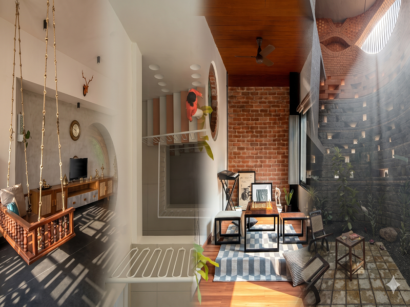
At ABIRIBA LIMITED, we believe better cities begin with better planning. Through multidisciplinary expertise in Architecture, Engineering, Interior Design, Urban Development and Planning, Landscape Design and Integrated Design Consultancy, our focus is on creating functional, context-responsive and sustainable environments.
Because the future of a city is not determined by how quickly it grows, but by how intelligently it is planned.
References and Data Sources