News Flood-Resilient Cities: Global Best Practices, Indian Case Studies & the Future of Sustainable Urban Planning
Flood-Resilient Cities: Global Best Practices, Indian Case Studies & the Future of Sustainable Urban Planning
How architecture, climate-responsive infrastructure, GIS-based flood-risk assessment and blue-green urban development can create safer and more sustainable cities.
Introduction: Rethinking Urban Development
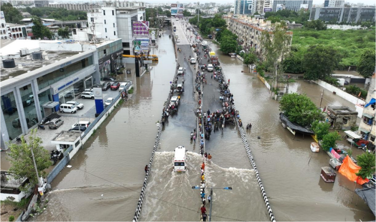
Urban flooding is an increasing challenge for cities experiencing rapid urbanisation, changing rainfall patterns, excessive concretisation, wetland loss and inadequate drainage infrastructure. As natural waterways and permeable landscapes disappear, stormwater runoff increases, placing additional pressure on existing drainage networks. According to the World Bank's 2025 report, Towards Resilient and Prosperous Cities in India, India's urban population is projected to increase from 480 million in 2020 to 951 million by 2050. This growth highlights the importance of climate-resilient infrastructure and integrated urban planning.
The solution requires moving beyond conventional drainage towards cities that can absorb, retain, store and safely manage stormwater through coordinated architecture, engineering, landscape design and environmental planning.
International Case Studies: Global Best Practices
International projects demonstrate how ecological restoration and engineered infrastructure can work together to improve urban flood resilience.
Rotterdam, Netherlands – Benthemplein Water Square: Completed in 2013, this multifunctional public space combines approximately 5,500 m² of effective square area with 1,800 m³ of temporary stormwater storage. Its three water basins collect runoff while providing recreational facilities during dry weather.
Singapore – Bishan-Ang Mo Kio Park: A 2.7-kilometre concrete drainage channel was transformed into a naturalised section of the Kallang River within a 62-hectare park. Its floodplain-based design allows adjacent parkland to function as a water-conveyance area during heavy rainfall. The project demonstrates how ecological restoration can support drainage management and public recreation.
Tokyo, Japan – G-Cans System: The Metropolitan Area Outer Underground Discharge Channel uses approximately 6.3 kilometres of underground tunnels, storage structures and pumping infrastructure to divert excess river water towards the Edo River. It demonstrates the importance of large-scale engineering in managing extreme flood conditions.
Copenhagen, Denmark – Cloudburst Management Plan: Introduced in 2012 following severe flooding in 2011, the strategy combines redesigned streets, green spaces, retention areas and underground infrastructure. Its original investment plan estimated DKK 3.8 billion to improve protection against extreme rainfall events.
These examples highlight the value of combining natural water systems, engineered infrastructure and informed land-use planning.
Indian Cities: Emerging Flood-Management Practices
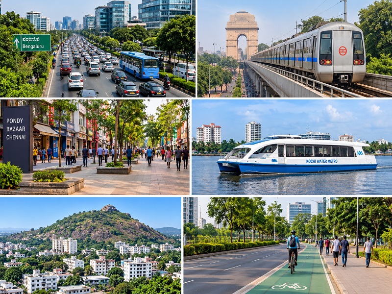
Indian cities are adopting different approaches according to their geographical and hydrological conditions.
Chennai: Sponge parks integrate wetlands, vegetation and decentralised water-storage landscapes. NITI Aayog's FrontierTech case profile reports more than 30 million litres of storage capacity and approximately 90% on-site management of incoming runoff. These are reported programme-level metrics rather than independently established citywide flood-reduction outcomes.
Surat: It’s End-to-End Early Warning System for Ukai and Local Floods (2011–2015) integrates hydrological and hydraulic modelling, GIS-based spatial information, and reservoir forecasting and early-warning arrangements. The project documentation records 10 automatic weather stations, two water-level measurement units and a five-day reservoir inflow forecast.
Mumbai: The Brihanmumbai Storm Water Disposal (BRIMSTOWAD) programme combines drainage improvements and pumping infrastructure. Mumbai's 2020–21 Environment Status Report recorded 18 of 20 Phase-I works and 24 of 38 Phase-II works as completed at that reporting stage.
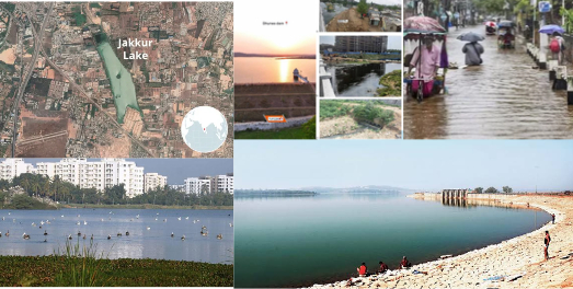
Bengaluru: Protecting interconnected lakes, restoring feeder channels and conserving natural drainage corridors remain important priorities for reducing urban flood vulnerability.
Kolkata: Canal management, drainage pumping stations and flood forecasting are essential to low-lying urban areas. The Kolkata Municipal Corporation's flood forecasting and early-warning arrangements use rainfall, canal-level, pump-operation and street-inundation monitoring.
These projects demonstrate different approaches to flood management. However, their performance should be evaluated using comparable indicators such as storage capacity, flood depth, inundation duration and infrastructure exposure.
Jharkhand: Flood-Resilient Planning for Ranchi, Jamshedpur and Dhanbad
Jharkhand requires a location-specific approach to flood management. Its plateau terrain, undulating landscapes, seasonal streams, monsoon rainfall, mining activities and expanding built-up areas create distinct drainage challenges.
The Central Ground Water Board's published district-wise normal rainfall data provide the following figures:
These are normal rainfall values, not actual 2026 rainfall observations.
Ranchi – Natural Drainage Restoration: Protect the Harmu River and its tributaries through GIS mapping, drainage-corridor protection, rain gardens, bioswales, permeable surfaces and decentralised stormwater storage. A published geospatial study identified approximately 0.31 km² of built-up encroachment along the Harmu River and tributaries within Ranchi Urban Agglomeration. This research also associated drainage encroachment with waterlogging.
Jamshedpur – Riverine Flood Management: Assess the Subarnarekha and Kharkai river corridors, monitor reservoir releases and river levels, protect floodplains, map vulnerable settlements and establish safe evacuation routes.
Dhanbad – Mining and Drainage Resilience: Map natural drainage networks, assess mining-related subsidence and land instability, improve stormwater connectivity and integrate drainage planning with industrial infrastructure and environmental management.
These priorities require detailed surveys, hydrological assessments and engineering studies. Performance should be evaluated through drainage capacity, inundation depth, flood duration, exposed infrastructure and the number of vulnerable settlements.
GIS-Based Flood-Risk Mapping: A Six-Stage Methodology
Geographic Information Systems (GIS) and remote sensing provide essential tools for identifying vulnerable locations and supporting evidence-based urban interventions.
A six-stage methodology can guide flood-risk assessment:
Data Collection: Gather digital elevation models, satellite imagery, rainfall records, river levels, drainage maps and historical flood observations.
Terrain Analysis: Assess elevation, slope, flow direction, flow accumulation and watershed boundaries.
Land-Use Analysis: Identify built-up areas, impervious surfaces, vegetation, wetlands and changing land-use patterns.
Hydrological and Hydraulic Modelling: Estimate runoff, drainage capacity, water depth, flow velocity and potential inundation under different rainfall scenarios.
Exposure and Vulnerability Assessment: Identify vulnerable buildings, hospitals, schools, industries, transport networks and communities.
Flood-Risk Mapping and Validation: Prepare flood-priority maps and validate model outputs against historical flood observations to guide drainage improvements, retention infrastructure and evacuation planning.
Recommended tools include QGIS, ArcGIS, satellite remote sensing, HEC-HMS, HEC-RAS, digital terrain models, BIM and smart rainfall and water-level monitoring systems.
ABIRIBA Blue-Green Urban Resilience Framework
At ABIRIBA LIMITED, we propose an integrated six-pillar framework connecting architecture, engineering, infrastructure and sustainable urban planning.
Integrated Stormwater Drainage Networks: Conduct drainage audits, capacity assessments and improvements to culverts, outfalls and stormwater systems.
Natural Drainage and Waterbody Protection: Use GIS mapping to identify and restore rivers, wetlands, lakes, floodplains and natural drainage corridors.
Sustainable Urban Drainage Systems (SuDS): Integrate permeable pavements, rain gardens, bioswales, green roofs, rainwater harvesting and retention ponds.
Floodplain and Land-Use Management: Introduce flood-hazard zoning, development controls, appropriate building plinth levels and protection of water-retention areas.
Hydraulic Modelling and Smart Monitoring: Apply GIS mapping, hydrological analysis, digital terrain models, predictive assessment and real-time rainfall and water-level monitoring.
Infrastructure Maintenance and Resilience: Strengthen drainage inspections, desilting, pump maintenance, debris management and emergency-response planning.
The framework can be evaluated through measurable indicators, including stormwater storage capacity, drainage performance, restored waterbody area, modelled flood depth and maintenance compliance.
It can support city master plans, residential and commercial developments, institutional campuses, industrial projects and urban infrastructure.
Policy Recommendations and the Way Forward
The Disaster Management (Amendment) Act, 2025 introduced Section 41A, enabling state governments to constitute Urban Disaster Management Authorities for state capitals and cities with municipal corporations. These authorities are responsible for preparing urban disaster-management plans, subject to approval by the State Authority, and coordinating their implementation.
India's Urban Flood Risk Management Programme, approved in August 2026, covers 18 cities across two phases, with a combined financial outlay of approximately ₹5,520.07 crore. Ranchi, Jamshedpur and Dhanbad are not included in the announced city list.
Jharkhand should prioritise integrating flood-risk assessments into urban master plans, protecting natural drainage corridors, strengthening municipal infrastructure, introducing climate-responsive building regulations, developing GIS-based flood databases and establishing coordinated early-warning systems.
Implementation requires coordination between urban development departments, municipal bodies, the State Disaster Management Authority, IMD, Water Resources Department, CPCB, JSPCB, technical consultants and local communities.
Conclusion: Designing Cities That Can Live with Water
Flood-resilient development requires cities to move beyond conventional drainage towards integrated blue-green infrastructure, climate-responsive architecture and evidence-based planning.
For Ranchi, Jamshedpur and Dhanbad, effective solutions must respond to local terrain, river systems, drainage networks, mining conditions and patterns of urban expansion.
At ABIRIBA LIMITED, our vision is to integrate architecture, engineering, landscape design and urban planning to create safer, greener and more sustainable communities.
The future of flood-resilient cities is not about fighting water. It is about understanding its movement, protecting natural systems and designing better urban environments around it.
References
World Bank (2025): Towards Resilient and Prosperous Cities in India.
NITI Aayog FrontierTech: Sponge Parks – Floodwater Management and Climate Cooling.
De Urbanisten: Benthemplein Water Square, Rotterdam.
Singapore NParks and PUB: Bishan-Ang Mo Kio Park and Kallang River Project.
NITI Aayog: Compendium of Best Practices in Water Management – Metropolitan Area Outer Underground Discharge Channel.
City of Copenhagen: Cloudburst Management Plan 2012.
NIDM / Ministry of Home Affairs: Surat End-to-End Early Warning System for Ukai and Local Floods.
Municipal Corporation of Greater Mumbai: Environment Status Report 2020–21.
Kolkata Municipal Corporation: Flood Forecasting and Early Warning System.
Central Ground Water Board: Jharkhand District-wise Normal Rainfall Bulletin.
Research publication: Spatio-temporal Variability of Surface Water Quality of Fresh Water Resources in Ranchi Urban Agglomeration Using Geospatial Techniques.
NDMA: National Guidelines on Management of Urban Flooding (2010).
MoHUA / CPHEEO: Manual on Storm Water Drainage Systems (2019).
Government of India: Disaster Management (Amendment) Act, 2025 – NIDM official documents.